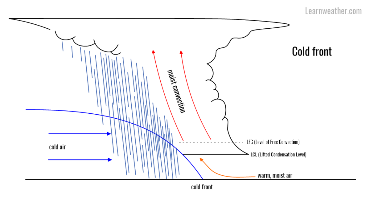
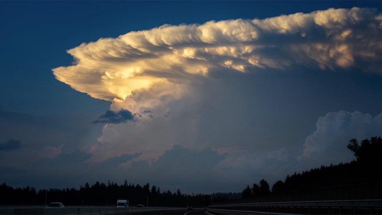
Convective initiation – how thunderstorms start
The page has moved; please visit below:
The page has moved; please visit below:
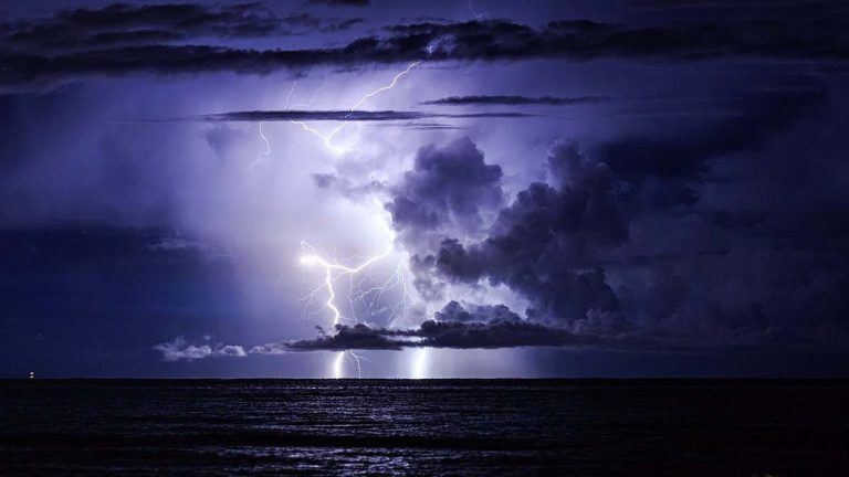
The page has moved; please visit below: Thunderstorm basics: Understanding the power of nature
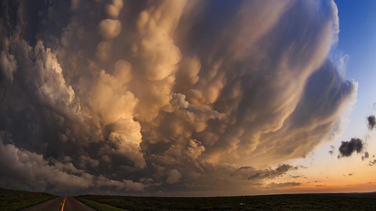
The page has moved; please visit below: The beauty and mistery of mammatus clouds
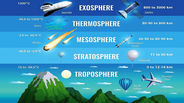
The page has moved; please see below: The atmosphere – where do thunderstorms live?
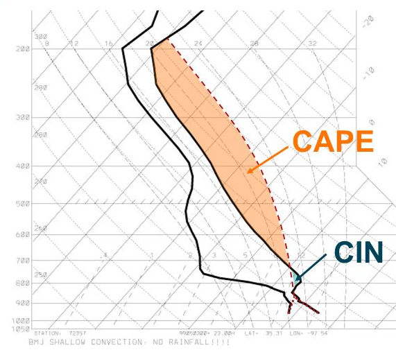
The page has moved; please visit below: Understanding atmospheric instability

The page has moved; please visit below: Buoyancy and phase changes in water
The page has moved; please visit below: Back-sheared anvil: The role of wind shear in shaping cumulonimbus anvil