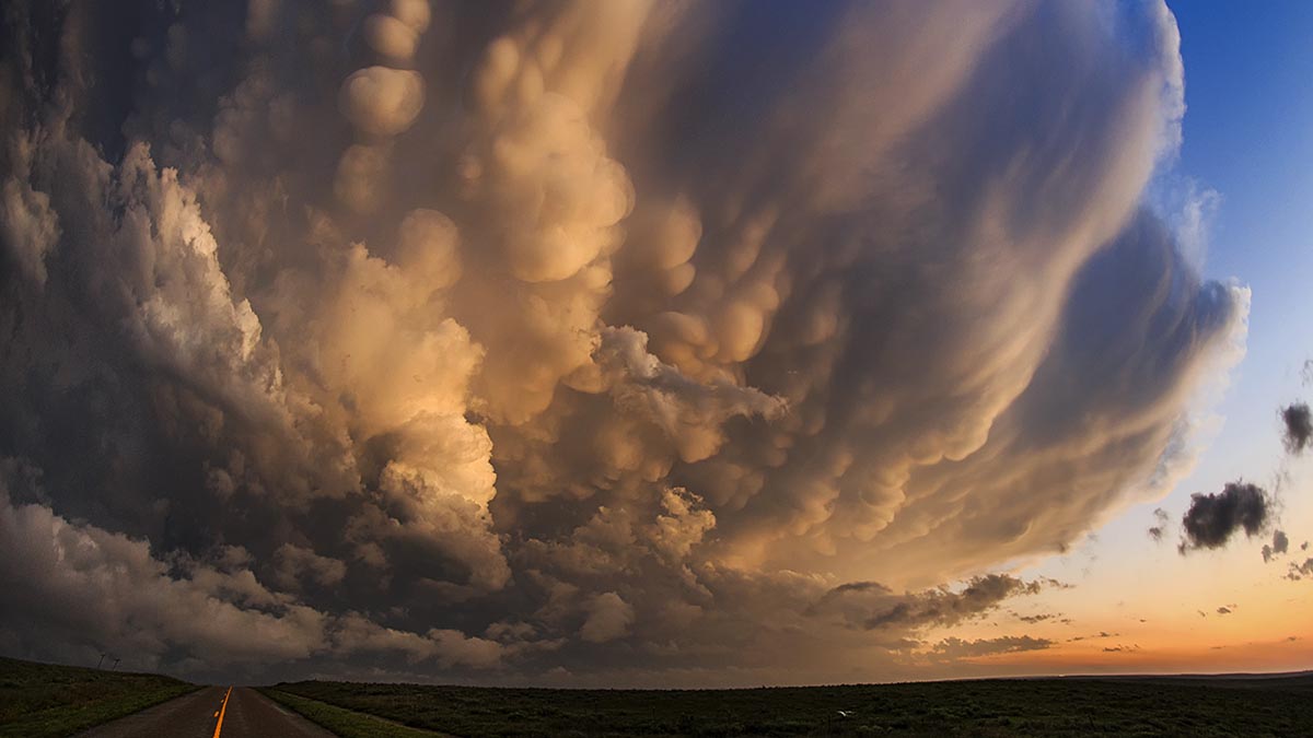
Mammatus clouds
The page has moved; please visit below:
The page has moved; please visit below:
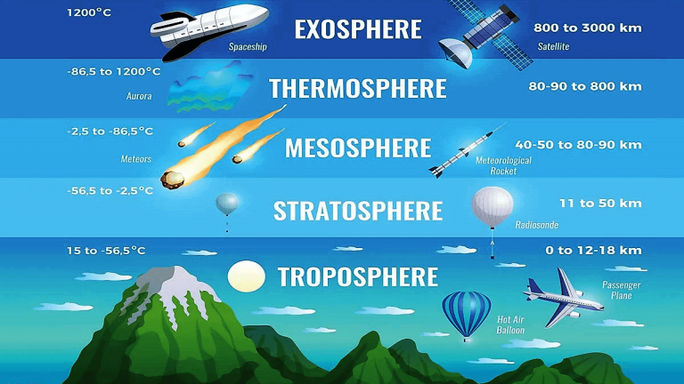
The page has moved; please see below: The atmosphere – where do thunderstorms live?

The page has moved; please visit below: Types of convective clouds – from fair-weather clouds to thunderstorms
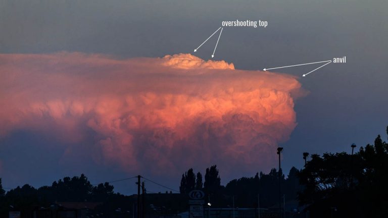
The page has moved; please visit below: Understanding overshooting top in thunderstorms
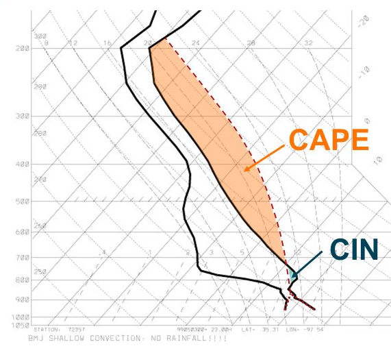
The page has moved; please visit below: Understanding atmospheric instability
The page has moved; please visit below: The highest ever measured thunderstorms – how high can they go?
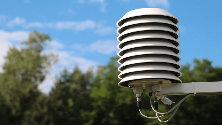
The page has moved; please see below: Air Temperature: From Ancient Observations to Modern Measurement Techniques
One Comment
Comments are closed.