Permafrost
The page has moved; please visit below:

The page has moved; please visit below:
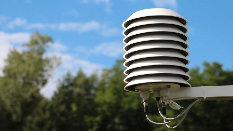
The page has moved; please see below: Air Temperature: From Ancient Observations to Modern Measurement Techniques
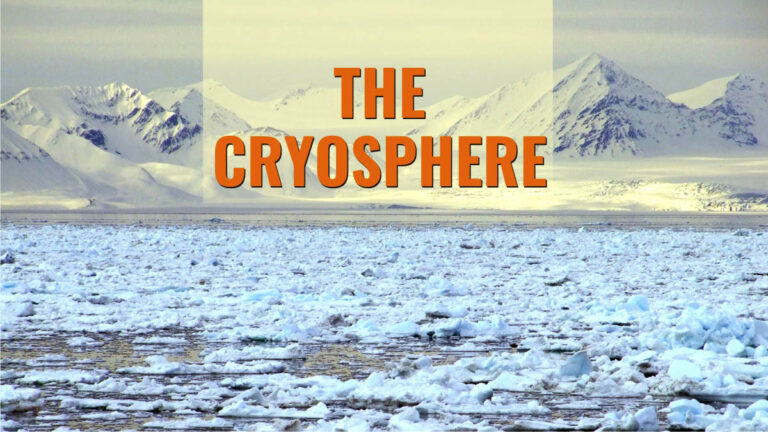
The page has moved; please visit below: The Cryosphere