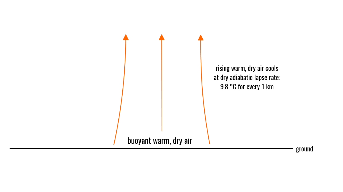
Convection and moist convection
The page has moved; please visit below:
The page has moved; please visit below:

The page has moved; please visit below: Convective initiation: Understanding thunderstorm development

The page has moved; please visit below: Thunderstorm basics: Understanding the power of nature
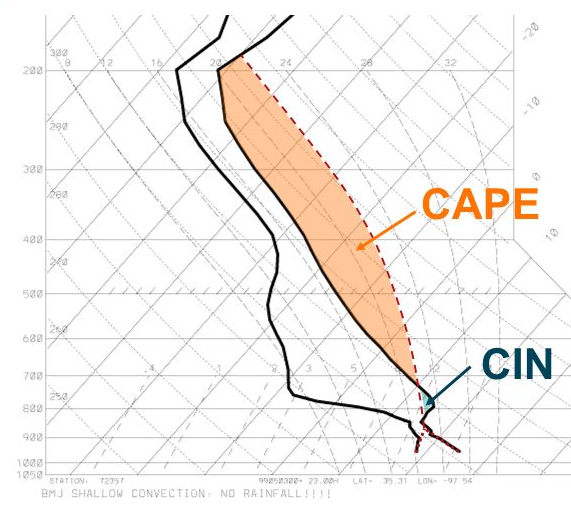
The page has moved; please visit below: Understanding atmospheric instability

The page has moved; please visit below: The beauty and mistery of mammatus clouds
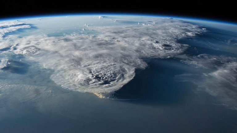
The page has moved; please visit below: The highest ever measured thunderstorms – how high can they go?
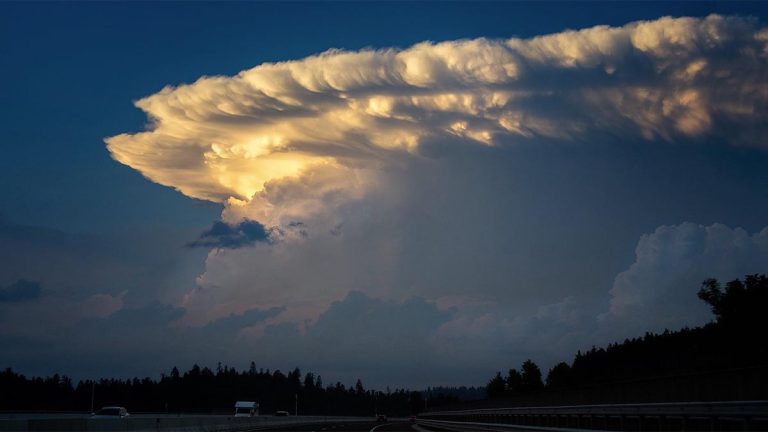
The page has moved; please visit below: Back-sheared anvil: The role of wind shear in shaping cumulonimbus anvil